Surveying Services on the Sunshine Coast
Get a Free Quote in Sunshine Coast
Thank you for contacting Coastal Surveying Group Pty Ltd.
We will get back to you as soon as possible.
Oops, there was an error sending your message.
Please try again later.
Clear, Practical Data
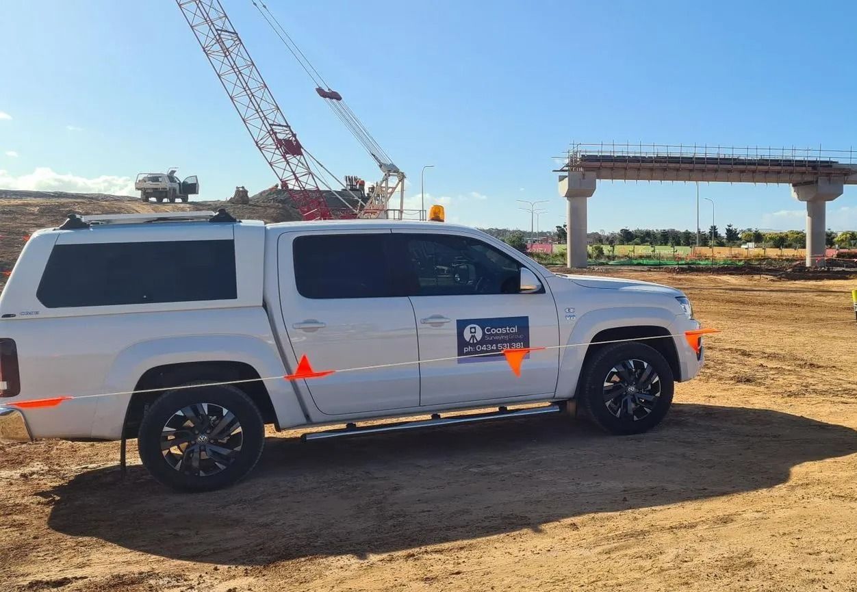
Providing Surveying Services
Working across the Sunshine Coast, Coastal Surveying Group provides reliable surveying services that support everything from early planning through to final construction. We understand local conditions, from coastal blocks to growing residential estates, and deliver data you can actually use on site.
Our services include construction set-out surveys, DTM and contour surveys, and machine guidance systems. This means clearer site layouts, accurate levels and smoother workflows for builders and contractors. You get practical information that helps avoid delays, reduce rework and keep your project moving.
With more than 30 years of experience behind the work, we focus on precision, communication and getting it right the first time.
Call 0434 531 381 to book surveying services on the Sunshine Coast.
DTM/Contour Surveys on the Sunshine Coast
Before any design or construction begins, understanding the land is key. DTM and contour surveys capture detailed data about ground levels, slopes and existing features across Sunshine Coast sites, giving a clear picture of how the land actually behaves.
This information is used to create accurate 3D models and contour maps, helping guide planning, drainage design and earthworks. With reliable site data from the start, you can reduce unexpected issues, improve design accuracy and move forward with greater confidence throughout the project.

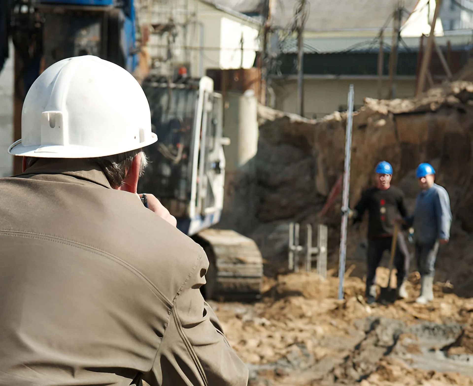
Construction Set-Out Surveys on the Sunshine Coast
Every successful build starts with getting the layout right on site. Construction set-out surveys transfer approved plans onto the ground, marking exact positions and levels for structures across Sunshine Coast projects.
With clear reference points in place, builders can confidently position foundations, walls and key elements. This reduces the risk of errors, keeps construction aligned with plans and helps avoid costly delays or adjustments as the project progresses.
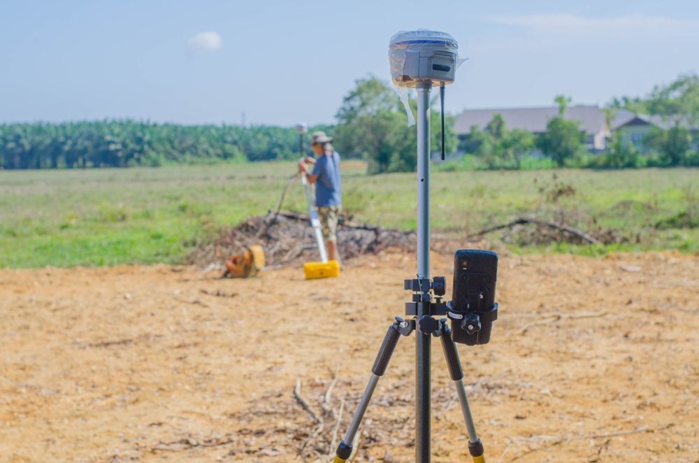
Machine Guidance Systems on the Sunshine Coast
Keeping earthworks accurate and efficient can make a big difference on site. Machine guidance systems use GPS technology to guide equipment across Sunshine Coast projects, helping operators follow precise levels and alignments in real time.
This reduces the need for constant manual checks and improves overall productivity. With better control over grading and excavation, projects can achieve more consistent results, reduce material waste and maintain steady progress from start to finish.

Frequently Asked Questions
How does a set-out survey reduce mistakes during construction?
A set-out survey transfers approved plans from paper onto the ground, marking exact positions for structures, boundaries and key features. This step gives builders a physical reference, which helps avoid misalignment or placement errors.
Even small inaccuracies at the start can lead to larger issues as construction progresses, affecting walls, services or final measurements.
A clear set-out supports smoother coordination between trades and keeps work tracking to plan. It also reduces the chance of costly adjustments later, particularly in projects where space is tight or boundary clearances are critical.
When should a surveyor be brought into a project timeline?
Surveyors are often most effective when involved early, before design work begins. Initial surveys provide the base information that architects and engineers rely on to shape plans.
Bringing a surveyor in later can lead to design adjustments if site conditions were assumed rather than measured. Surveyors also play a role during construction through set-out and verification, helping keep work aligned with approved plans.
Involving them at key stages creates a more connected process, where each step builds on accurate data rather than estimates, reducing the likelihood of delays or unexpected changes.
Why are contour surveys important before starting earthworks or design?
Contour surveys map the natural shape of the land, showing slopes, high points and drainage paths. This information helps designers position buildings, driveways and retaining walls in a way that suits the block rather than fighting against it.
Without accurate contours, projects can run into issues such as poor water runoff, unexpected excavation costs or non-compliant designs.
Builders and engineers rely on this data to plan levels and volumes early, which can reduce rework later. It also gives councils clearer insight during approvals, as the proposal aligns more closely with the site’s existing conditions.
What happens if site levels don’t match the original design plans?
If the actual ground levels differ from what was assumed in the design, adjustments may be needed before construction moves forward. This can involve revising building heights, drainage plans or excavation volumes.
A survey helps identify these differences early, giving designers and builders time to respond before work progresses too far. Ignoring level discrepancies can lead to drainage issues, structural concerns or non-compliance with approvals.
By confirming levels on site, projects can stay closer to their intended outcome while avoiding unnecessary delays or costly redesigns later in the build.


