Contour Survey on the Sunshine Coast
Get a Free Quote
Thank you for contacting Coastal Surveying Group Pty Ltd.
We will get back to you as soon as possible.
Oops, there was an error sending your message.
Please try again later.
Clear, Practical Data
Cutting Edge Technology
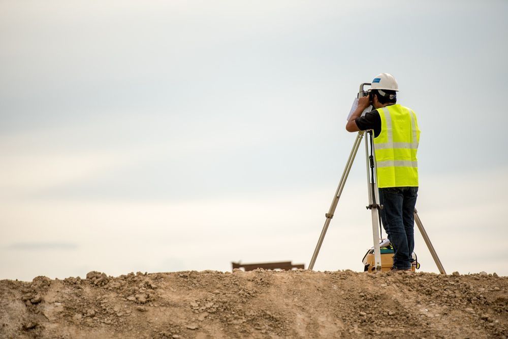
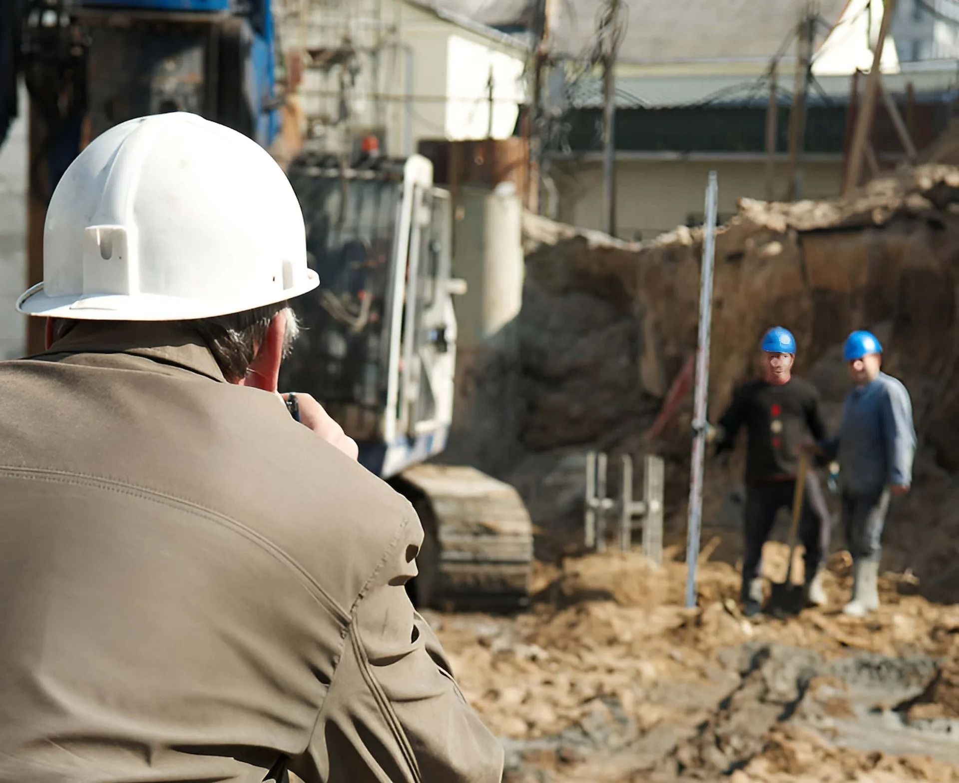
At Coastal Surveying Group, we carry out DTM (Digital Terrain Model) and contour surveys to give you a clear picture of your land before any work begins.
We use advanced equipment to map existing features, both above and below ground. This helps you plan with confidence, whether you’re designing a home or preparing a larger civil project.
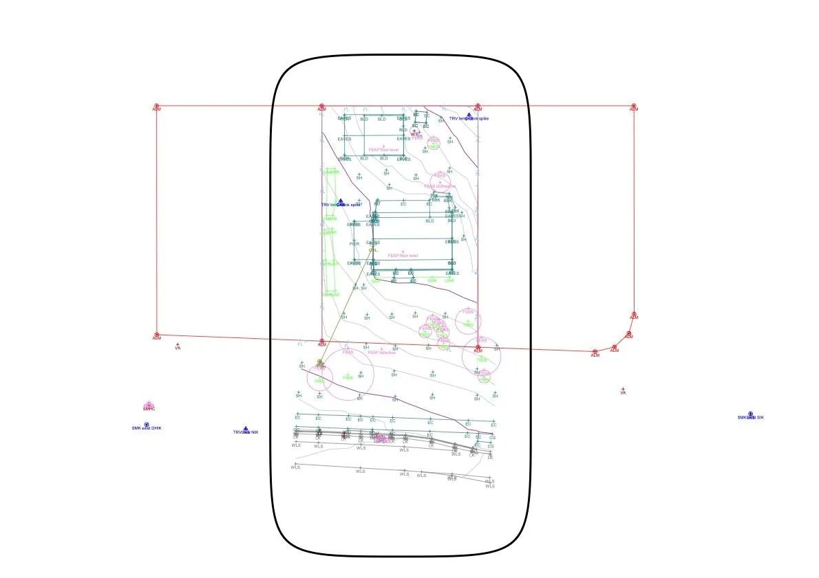
Contour surveys, also called topographic surveys, show the natural rise and fall of the land. By recording key points across the site, we create detailed contour lines that make it easier to understand levels and drainage.
Ready to get started? Call Coastal Surveying Group on 0434 531 381. We service the Sunshine Coast, Moreton Bay, Brisbane and Gympie.
Frequently Asked Questions
Why are contour surveys important before construction?
Contour surveys help identify slopes, drainage patterns and level changes across a site. This allows for better planning of foundations, earthworks and stormwater systems. Having accurate data early reduces the risk of design issues, delays and unexpected costs once construction begins.
What information is included in a DTM survey?
A DTM survey typically includes ground levels, contours, boundaries, existing structures, vegetation and underground services where required. The data is presented in a digital format that can be used for design, modelling and planning, giving a clear overview of site conditions before work starts.
When should a DTM survey be carried out?
A DTM survey is usually completed during the early planning or design stage of a project. It provides the base information needed for architects, engineers and builders to prepare plans. Completing it early helps avoid rework and supports more accurate design decisions.
What Are the Benefits?
- Accurate site data: DTM and contour surveys provide detailed 3D representations of the land, supporting precise planning and construction across all project stages.
- Efficient project planning: DTM surveys assist with site grading, stormwater control and infrastructure placement, helping reduce delays and unnecessary costs.
- Clear visualisation: 3D models and contour mapping make it easier to understand site conditions, including slopes, levels and elevation changes.
- Improved design outcomes: DTM and contour surveys support designs that align with the natural landscape, helping reduce earthworks and site disruption.
- Reduced costs and timeframes: Accurate survey data allows for reliable quantity take-offs, material estimates and earthwork calculations, helping keep projects on schedule.


