Surveying Services in Gympie
Get a Free Quote in Gympie
Thank you for contacting Coastal Surveying Group Pty Ltd.
We will get back to you as soon as possible.
Oops, there was an error sending your message.
Please try again later.
Clear, Practical Data

Your Local Surveyor
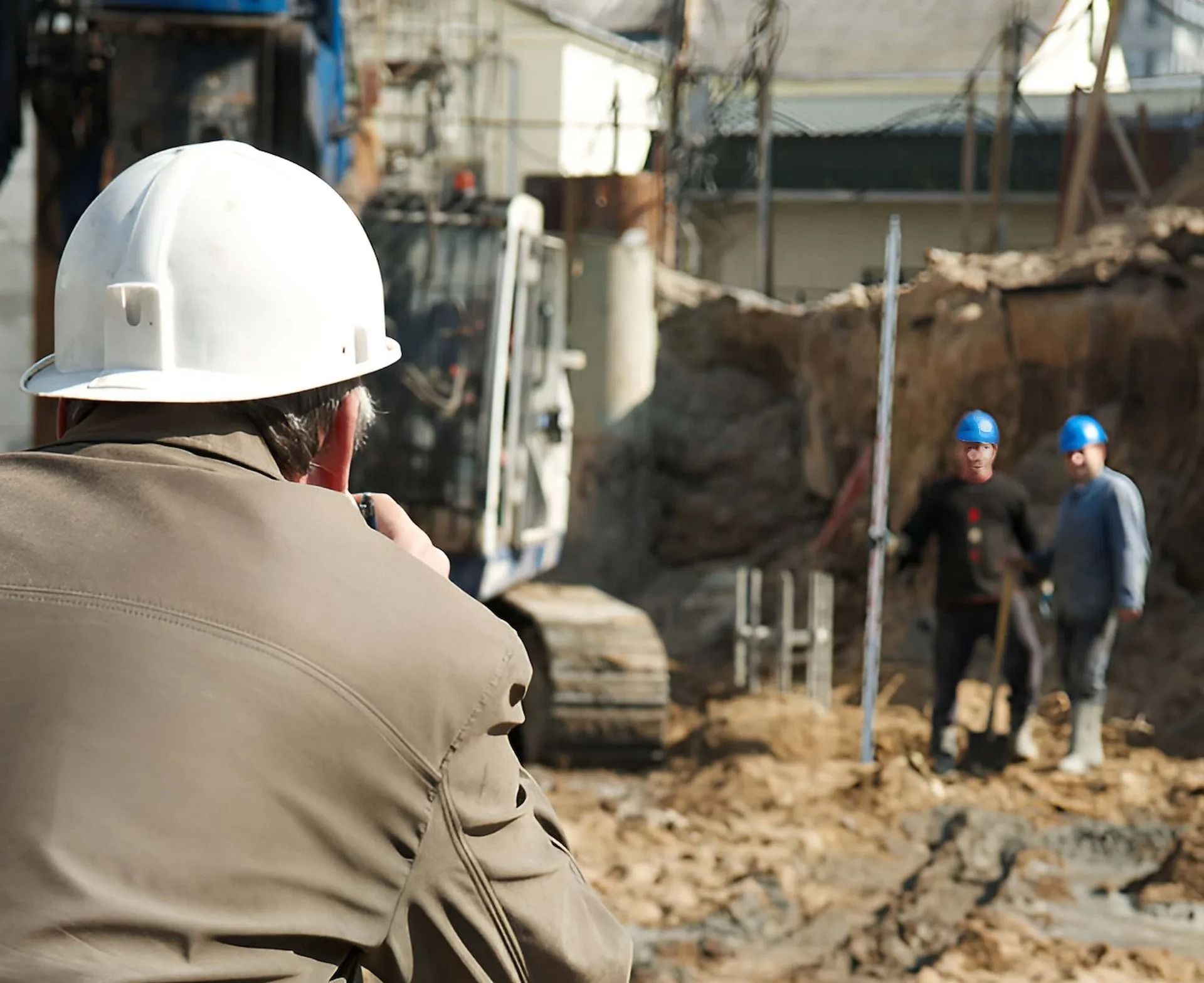
In Gympie, Coastal Surveying Group provides surveying services that help keep residential and commercial projects on track from the outset. We understand the local area and deliver clear, accurate data that supports better planning and smoother construction.
We carry out construction set-out surveys for homes, extensions, renovations and carports, making sure everything is positioned correctly before work begins. For larger developments, we use machine guidance systems to help maintain consistent levels and improve efficiency across the site. We also complete DTM and contour surveys, giving you a detailed view of your land for smarter design decisions.
Every project is approached with care and attention to detail. Call 0434 531 381 to arrange surveying services in Gympie.
DTM/Contour Surveys in Gympie
Around Gympie, site conditions can vary from flat blocks to more uneven terrain. DTM and contour surveys capture detailed ground data, showing how the land sits before any planning or construction begins.
With this information, you can better plan layouts, manage water flow and prepare for earthworks. It gives you a clearer understanding of the site, helping reduce risks and supporting smarter decisions throughout the project.
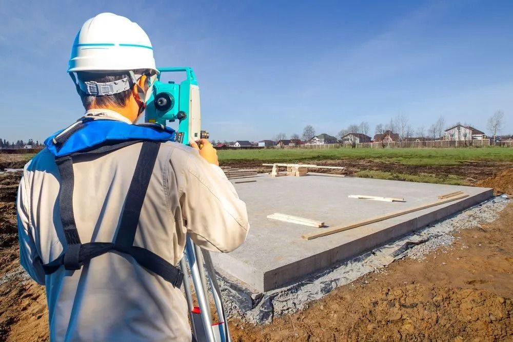
Construction Set-Out Surveys in Gympie
Laying out a project correctly is key to avoiding problems later. Construction set-out surveys mark the exact position of structures on Gympie sites, ensuring everything lines up with approved plans from the outset.
This provides builders with clear guidance on where to build, helping maintain accuracy at every stage. It reduces the chance of errors, keeps work on track and supports a smoother construction process overall.
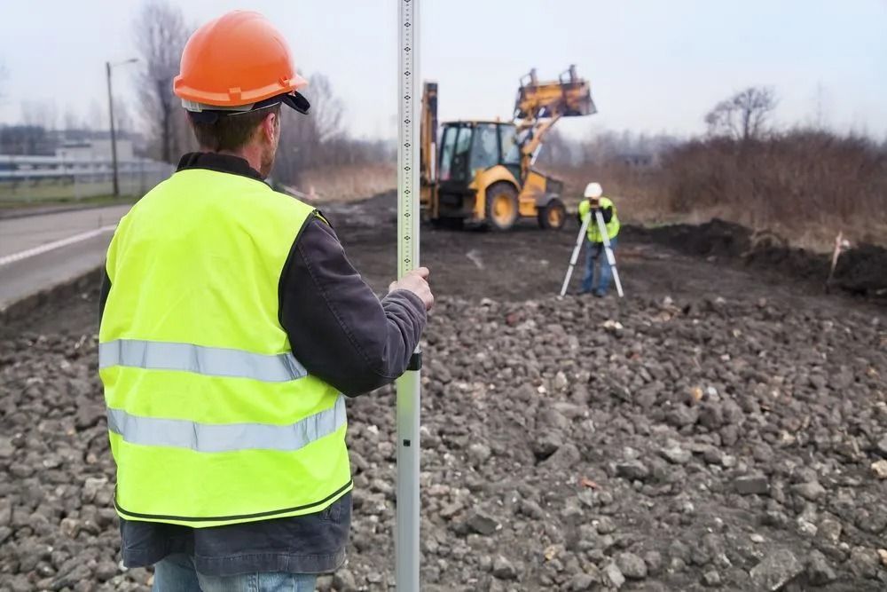
Machine Guidance Systems in Gympie
On larger Gympie projects, keeping levels consistent across the site can be challenging. Machine guidance systems use GPS positioning to help operators control machinery with greater precision.
This allows for more accurate grading and excavation without constant manual checks. It improves productivity on site, helps manage materials more effectively and keeps projects progressing without unnecessary delays.

Frequently Asked Questions
What is a contour survey used for?
Contour surveys show the elevation and slope of land, helping to plan construction and drainage effectively.
Are your services suitable for small projects?
Absolutely. We cater to projects of all sizes—from small residential builds to complex civil works.
How accurate are your surveys?
Our surveys are highly accurate, thanks to our experienced team and the use of advanced surveying technologies.
What makes Coastal Surveying Group different?
We combine local expertise with cutting-edge technology to deliver precise and reliable results tailored to each project.


